Can Takeoff measure a room automatically from one photo?
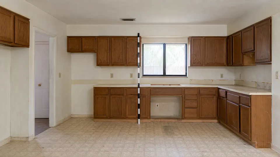
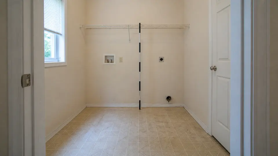
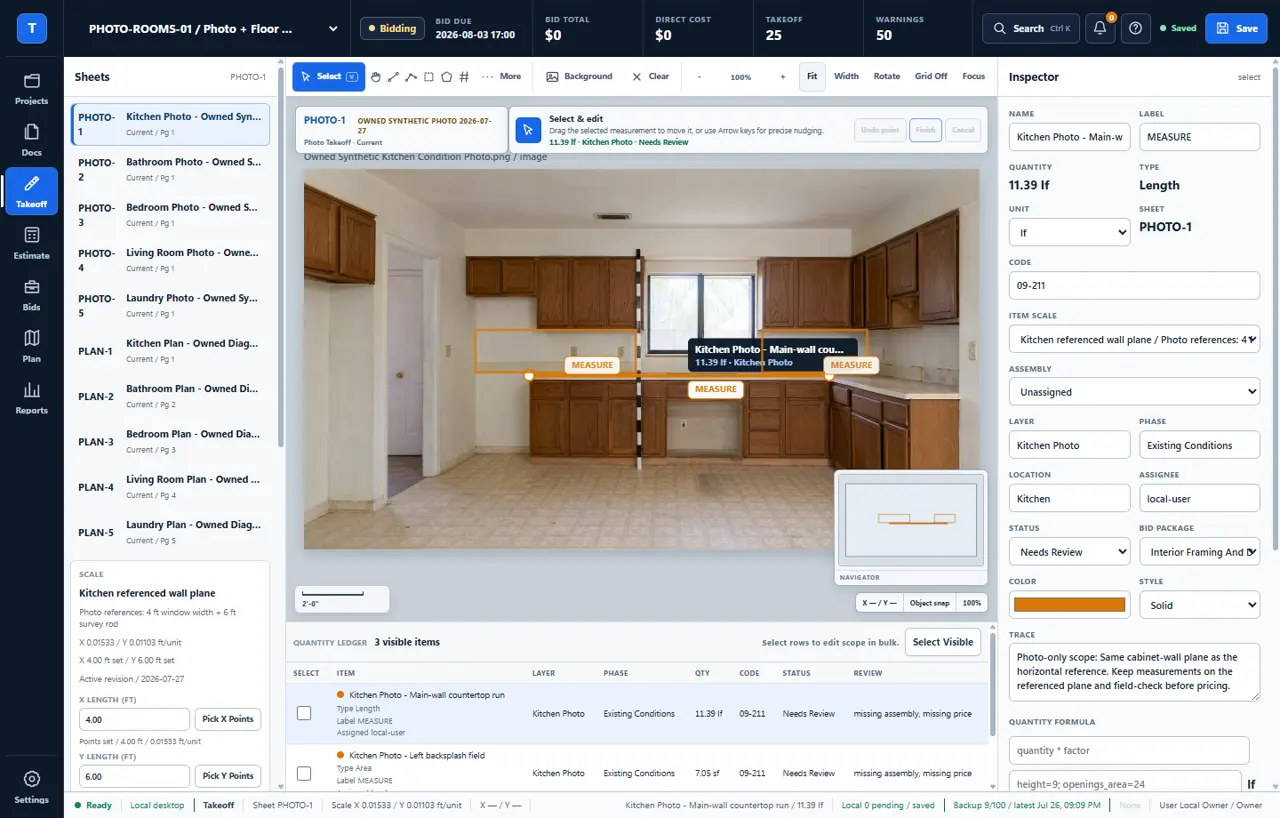
No. You set a dependable reference and trace only the visible work the photograph can support. Takeoff keeps the source, measurement, assumption, and review note together instead of presenting an automatic guess as a finished quantity.
What makes a construction photograph measurable?
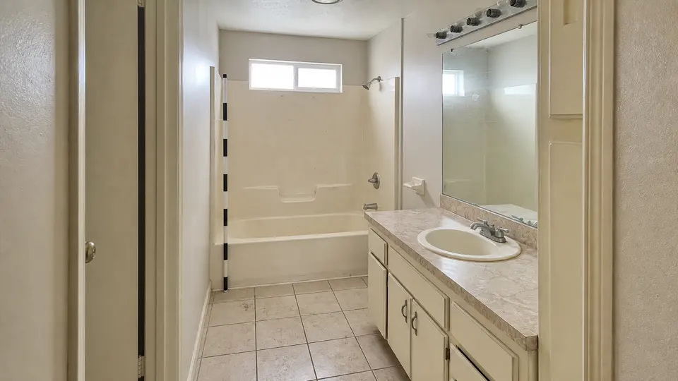
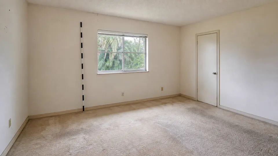
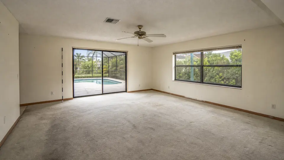
Use a dimension you know independently on the same wall or surface as the work. Perspective, lens distortion, hidden edges, and surfaces that turn away from the camera limit what the photograph can support, so critical dimensions still need plan or field verification.
What can I take off from a photograph?
A well-referenced photograph can support visible same-plane runs, openings, flat surfaces, fixture counts, and condition notes. It does not prove room depth, concealed work, walls outside the camera view, or geometry that turns away from the lens.
Can I use a quarter to measure damage from a photo?
Yes, when the quarter and the damage lie flat on the same surface and the camera is reasonably square to that surface. A U.S. quarter is 0.955 inch in diameter, so you can set horizontal and vertical scale from the coin, measure only the visible same-plane damage, and field-check the result before pricing or contracting.
Can I use a lighter or another object for photo scale?
Only if you know the exact dimensions of that specific object. Lighters, keys, and phones are not standard sizes, so measure the object first, place it in the same plane as the work, keep the camera reasonably square, and field-check the result. A rigid object with a dependable published or measured dimension is safer.
Can I combine room photographs and floor plans in one project?
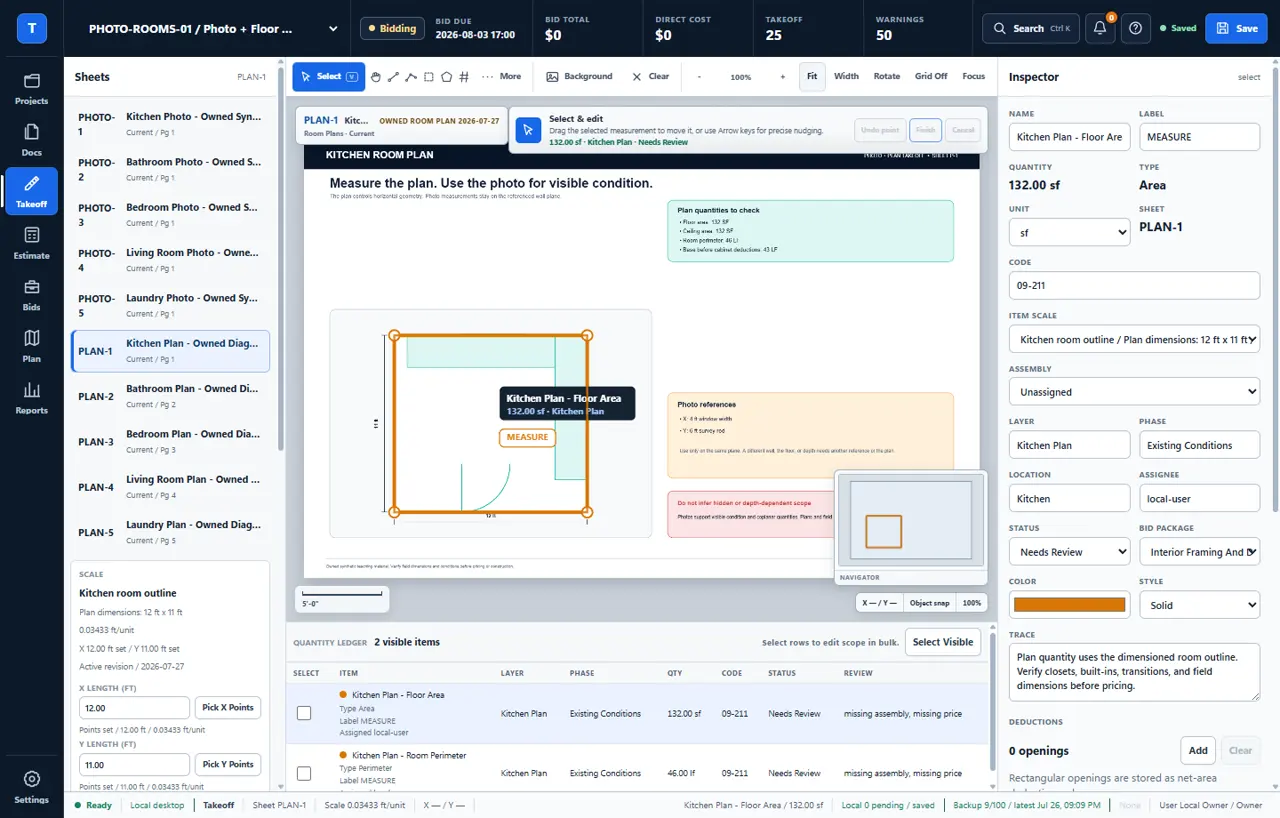
Yes. Use the photograph for visible condition, counts, and supported same-plane measurements, then use the floor plan for room area, perimeter, depth, and geometry outside the camera view. Takeoff keeps both sources beside the quantities they produced.
What if I do not have a floor plan?
You can record visible counts, condition, and measurements that share a dependable reference plane. Leave full-room area, hidden work, and unsupported geometry open until you obtain another view, a plan, or a field measurement.
Can I update the estimate when better information arrives?
Yes. Add the plan, walkthrough measurement, supplier price, or correction to the same project while retaining the earlier source and notes for review. The estimate becomes more defensible without erasing how it changed.
Is photo-derived work ready to bid?
Only after the scope, measurements, hidden conditions, code requirements, and current prices have been checked for the actual job. Takeoff helps distinguish what is measured, assumed, excluded, and still unanswered.
How much does Takeoff photo takeoff software cost?
The Takeoff v1 license is $79 once for one named user on up to two Windows PCs and includes all v1 updates. There is no recurring seat fee. The current installer is Authenticode-signed and the purchase includes a 30-day money-back guarantee.