Areas and materials
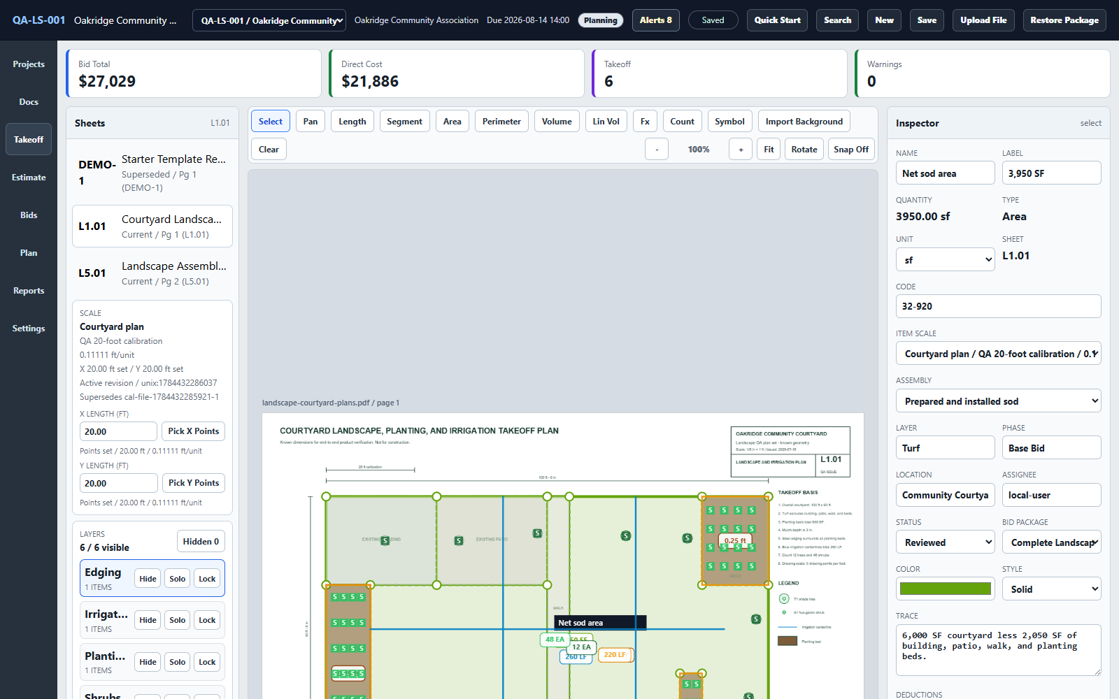
Trace turf or bed areas, preserve excluded hardscape, and keep depth, waste, supplier coverage, labor, and material assumptions visible beside the measured scope.
Trace turf and bed areas, edging, irrigation runs, and planting counts; price them with reusable systems and costs; then communicate the estimate without losing what worked.
30-day money-back guarantee · Local-first · Works offline after installation
From site markup to priced scope
Use the measurement type that matches the work, keep deductions and notes visible, explain what is included, and save proven systems for similar jobs.
Trace turf or bed areas, preserve excluded hardscape, and keep depth, waste, supplier coverage, labor, and material assumptions visible beside the measured scope.
Measure steel edging, irrigation mains, laterals, sleeves, fencing, and other linear site scope.
Count planting symbols, price labor and material as separate lines, and preserve reviewed systems for the next estimate.
Worked landscaping example
This two-sheet courtyard example carries six measured quantities into fourteen estimate lines, a bid, schedule, purchasing list, and exports.
The example uses known dimensions and sample prices. Verify the current plan, visible limits, field conditions, material depths, waste, labor, and supplier prices before bidding.
Plan or photo background
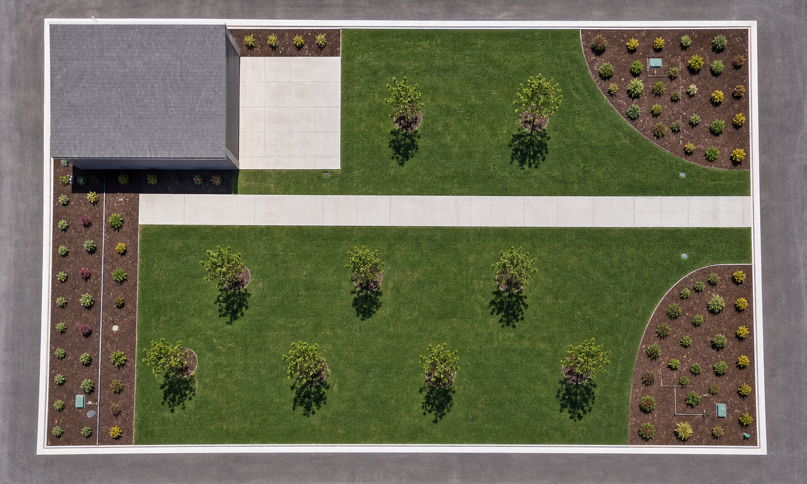
A floor plan, aerial image, or jobsite photograph can provide visual context when it contains a reliable measured reference. Calibrate to that dimension, trace the visible scope, and keep the source and assumptions attached for review.
Worked image example: using the labeled 100-foot north edge, the trace measured this designed 6,000 SF courtyard at 6,094 SF, a 1.57% difference on this image.
The image-derived quantities stay unpriced until assemblies, scope, and current prices are reviewed. That keeps an approximate trace from quietly becoming a bid.
Photo-assisted quantities are estimates. Perspective, lens distortion, terrain, occlusion, and outdated imagery can affect results. Verify site conditions and do not treat the workflow as a boundary survey or engineered measurement.